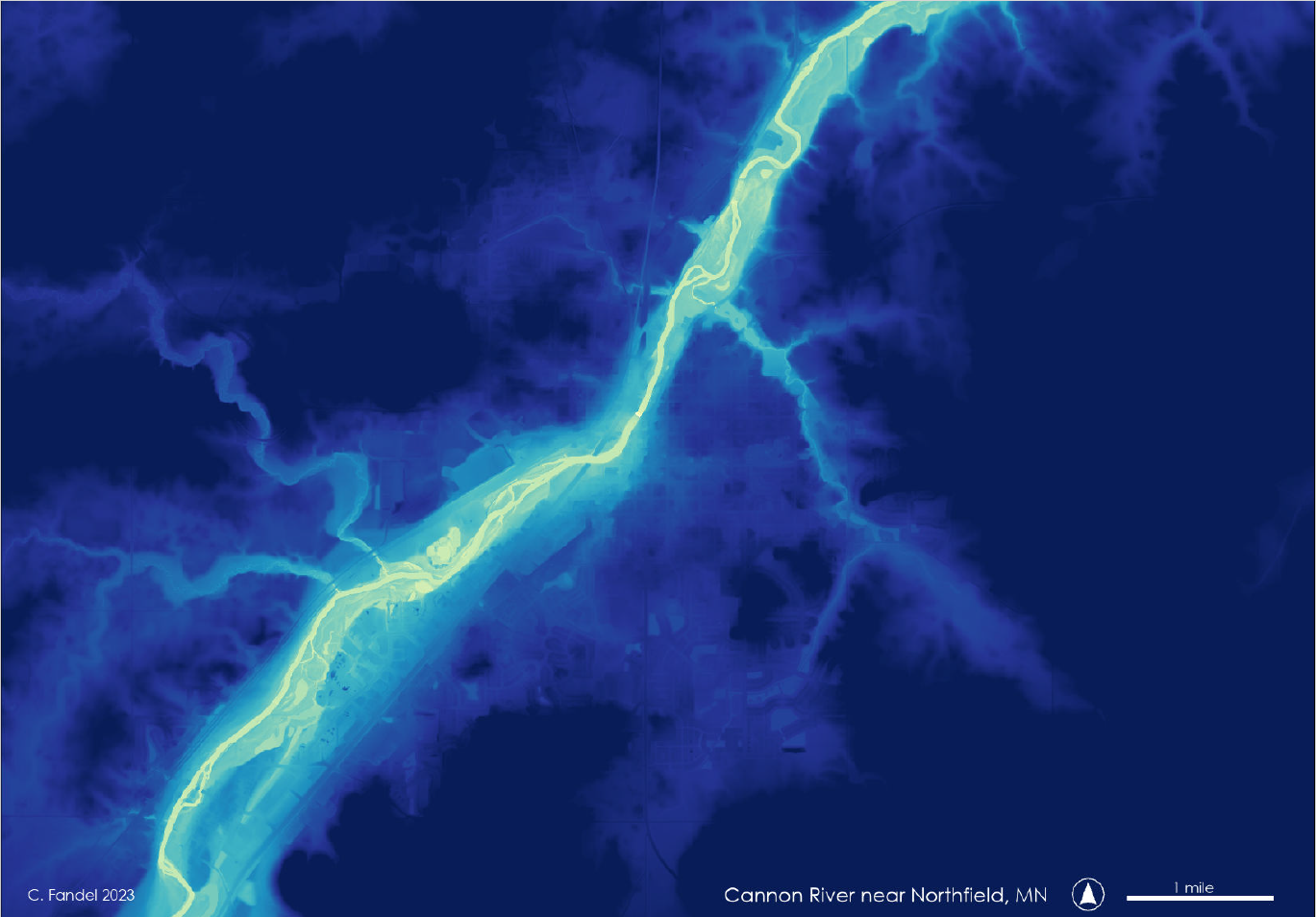
Height-above-river elevation map created from LiDAR data.
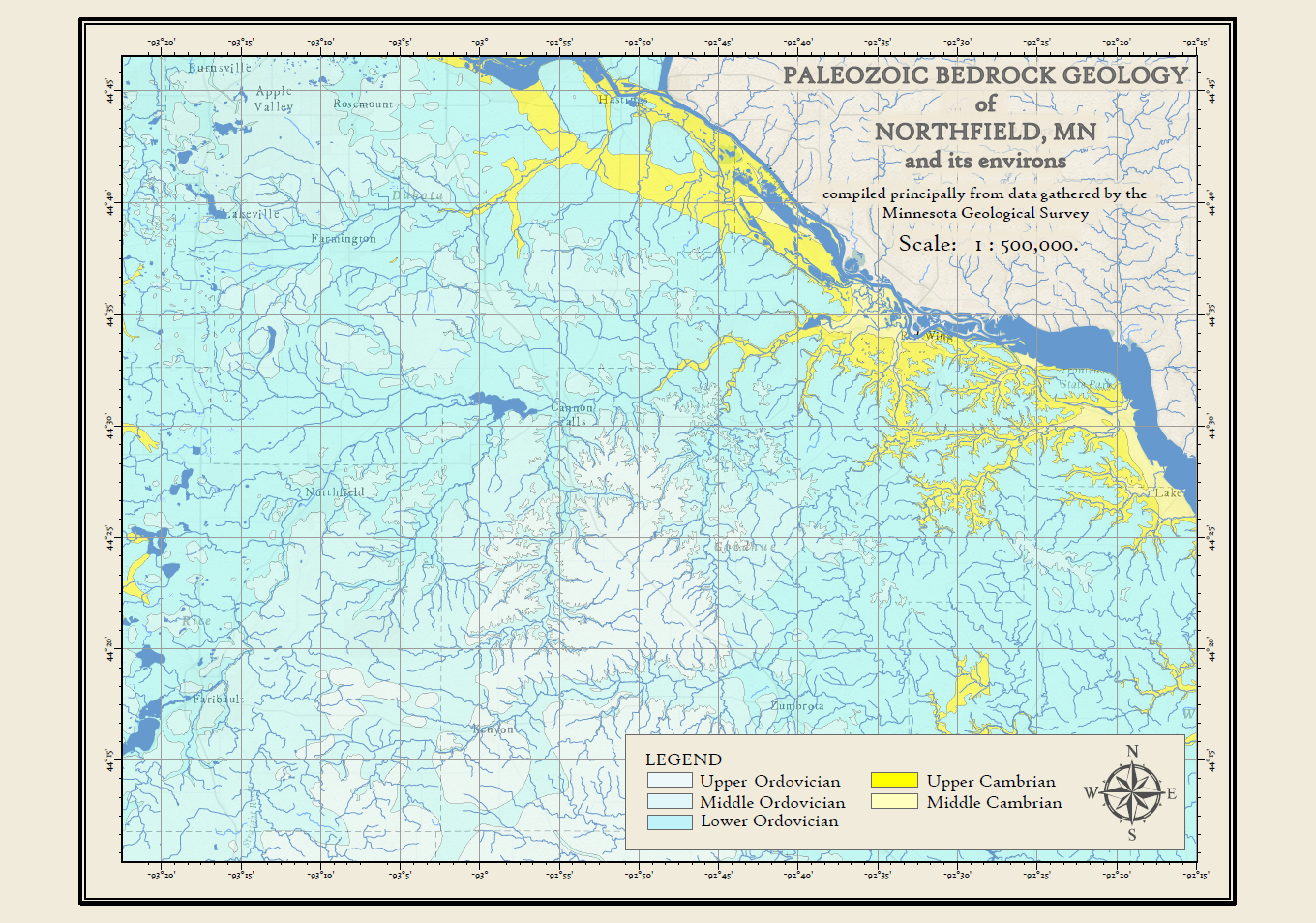
Bedrock geology of the area surrounding Carleton.
Postcards from a series created for the Carleton College Geology Department, to be used as promotional materials at public tabling events.