An animation project about water harvesting in stream channels.
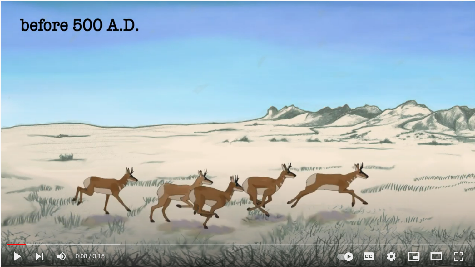
How has the landscape in the dry grasslands of Arizona changed over time? How have humans affected the stream channels? In this region, most groundwater is recharged through the sediment at the bottom of stream channels. So how might changes in the channel affect the rates of infiltration (floodwater at the surface soaking into the ground) and recharge (the infiltrated water traveling down to the water table and being stored)?
More information at the USGS Aridland Water Harvesting Study
This video is based on background research for my MS Thesis: "The Effect of Gabion Construction on Infiltration in Ephemeral Streams"
It was on view at the Sabino Canyon Visitor Center on the Coronado National Forest for several years, and is also hosted on the websites of several conservation organizations in southern Arizona (the Arizona-Sonora Desert Museum, Borderlands Restoration, Cuenca de los Ojos).